Feeds:
Posts
Comments

Posts Tagged ‘hiking’

I went for a ride thru Peters Canyon this morning.  This is the worst year of drought I have seen in the 17+ years we have lived in this area.  This reservoir is normally full and at least 12-15 feet deep.

khare-blog-003


This year, the reservoir is barely there.khare-blog-002

The only plant life thriving are the cactus.

khare-blog-0051

We’re praying for a lot of rain this year!

khare-blog-001

Read Full Post »

On Memorial Day we visited the Channel Islands – Santa Cruz Island. We started out at Ventura Harbor, a little over 100 miles from our house and then took a 2 hour boat ride to the island.  The weather was beautiful.

Here is Annika with her best friend Lizzy who came along with us.

Here is Vikram being camera shy!


On the boat ride, we saw lots of sea lions and dolphins.

Here is the start of the 4.5 mile hike on the island.

Here we all are just above Pelican Bay.

Read Full Post »

We just got back from a weekend of camping and hiking in Yosemite.  Nikhil, Vikram and 12 of their boy scout troop joined in the fun.  I had arranged the camp sites and pre-ordered the half dome hiking tickets last February.  This is a strenuous 21 mile hike (from Upper Pines Campground via John Muir Trail) with 4800 feet of elevation gain and took us over 12 hours.

We started our hike at 5:30 AM and started up the John Muir Trail.  Here we are at our first break about an hour into the hike.

Vikram and Shree at Nevada Falls

We were fortunate to see this rare sighting of a bear cub at about the 10 mile mark.  Vikram snapped this shot and we moved along quickly just in case the mother bear was near.

Here is a great shot of the approach to Half Dome.    If you look closely, you will see the trail of people.  The lower half is a rock scramble up the mountain, the upper half is the famous cable hike.

Half Dome Cables

Here we are at the hump right before the cable section.

Finally, we reach the top.   I had all the boys harnessed into the cable with an Alpine Bod harness,  runner and carabiner.

The hike back down the mountain was a bit quicker and had some glorious views of Nevada and Vernal Falls (below).  We had all carried up over 4L of water per person and yet nearly all of us were running out at the end! Once again, it amazes me how many unprepared people we saw along the way with a bottle or two of water in 90 degree heat!

Read Full Post »

Yesterday, I took the boys and their Boy Scout buddies for a training hike up the San Juan Trail in San Juan Capistrano.   It was a 13 mile round trip with over 2200 feet of elevation gain.

Here are the boys at the beginning of the hike:

The first few miles are a series of switchbacks carved into the side of the mountain.

Here is Vikram taking full advantage of one of the few places with 4 bars of AT&T cell phone coverage.  We don’t get this kind of coverage at our house!

The boys conquering a rock halfway up the trail.

Here we are at the top of “Cocktail Rock”.  Appropriately named because after 6.5 miles of hiking I felt like having a couple of cocktails.

Finally, here is what we had to look forward to going back down to the trailhead.  It was almost 4 hours up and 2 1/2 back down.

Read Full Post »

Last weekend we went on a trip organized by my alma mater (Harvey Mudd College) to the Channel Islands.  These are a group of islands about 22 miles off the coast of Ventura.  We took an Island Packers boat trip to Santa Cruz island which is the largest of the islands and is about 20 miles by 6 miles and has the most varied terrain.  It is know as the “Galapagos of California”.

khare-blog51

On the ride out to the island, we encountered a school of several thousand dolphins!  They were literally jumping all around the boat.   This was apparently a rare sighting of so many dolphins.

khare-blog53

We landed at Prisoner’s Harbor and did a 4.5 mile hike to Pelican Bay on the The Nature Conservancy side of the property.  There were several steep canyons and about 750 feet of climbing.

There were quite a few native flowers in full bloom.  This is a natural “soap flower”  If you rub it between your hands, it has antiseptic properties.  We also saw (and tasted) the “lemonade berry” plant which is also native to just Santa Cruz.

khare-blog56

Here is a picture of the kids enjoying the hike:

khare-blog54

This is one of the scenic views from near the top of the island.

khare-blog57

On the boat ride back, we saw a blow hole, caused by the low tide and the water being forced thru the tubes in the lava rocks.

khare-blog55

The Channel Islands are definitely worth a trip.  The tour guides were very knowledgeable and the Island Packers boating outfit was very professional.  Note that The Nature Conservancy side of the island requires a special permit (which we had access to because of the HMC connection).

The National Park side of the island is available to the general public.

Enjoy!

Read Full Post »

This week, I took the boys with their Boy Scout troop up to Yosemite for 5 days. On one of the days, we hiked up to Half Dome. This was a difficult 18 mile round trip from our campsite at Upper Pines. It took us about twelve and a half hours to complete the hike.

We started promptly at 5:30 in the morning while it was still dark.

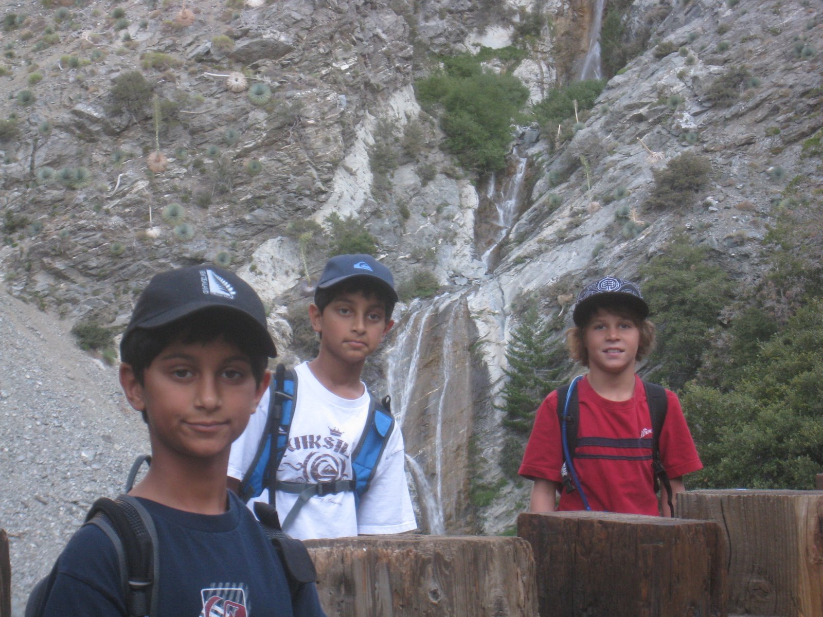
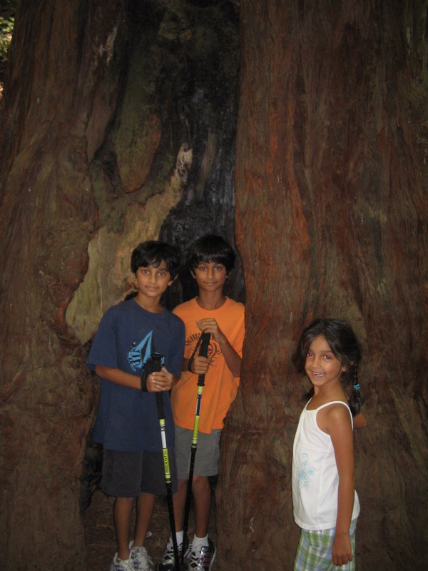
About an hour into the hike, the kids had a dry cereal breakfast.

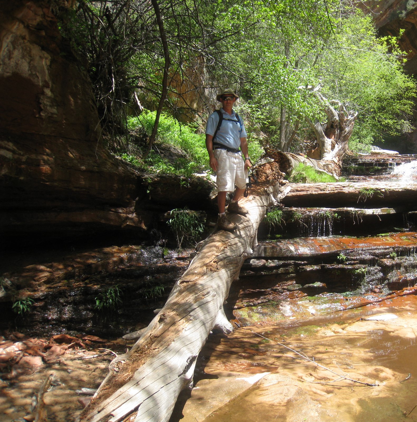
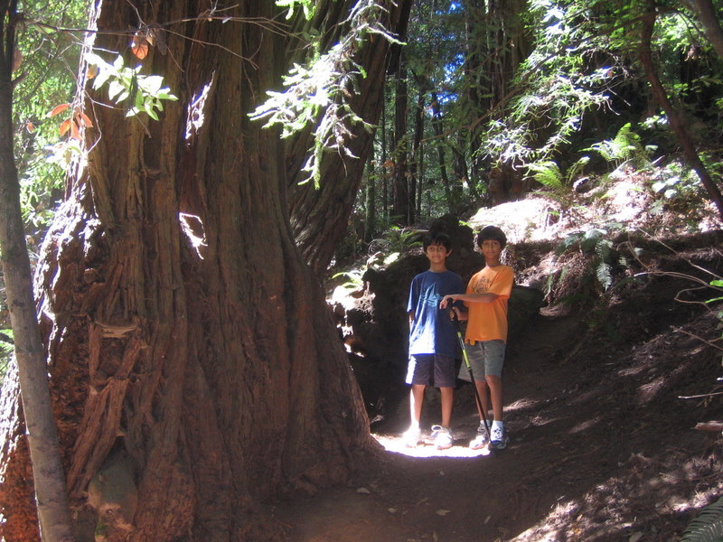
Here they are on another break.

At about the 6 hour mark, we near the staircase and cables part of Half Dome.

Here is a picture up the staircase. It is some basic rock scrambling. At the top of this 1/2 mile section is the cable portion. Only four of the boys remained for this last section.

Here we are right before the cables. You can see the cable ascent to the top of Half Dome in the picture below. The cable portion is 400 feet and is rated as a Class 3 climb.

I did not get a picture of it, but to keep the kids safe, we had them all wear a harness and clip themselves to the cables. In case they slipped, the harness would keep them safe.

There were some people that should not have been up there. We saw people in flip flops, people with one or two bottles of water and other accidents just waiting to happen. One of the boys said, “if you don’t know what you are doing, you will die”. We saw so many people that fit this category! In fact, the Park Service reports that there were three fatal falls last year alone.

Finally, we made it to the top! The peak is at 8842 feet of elevation and rises about 4700 feet off the valley floor.

The descent down the cables was a bit easier but still quite challenging.

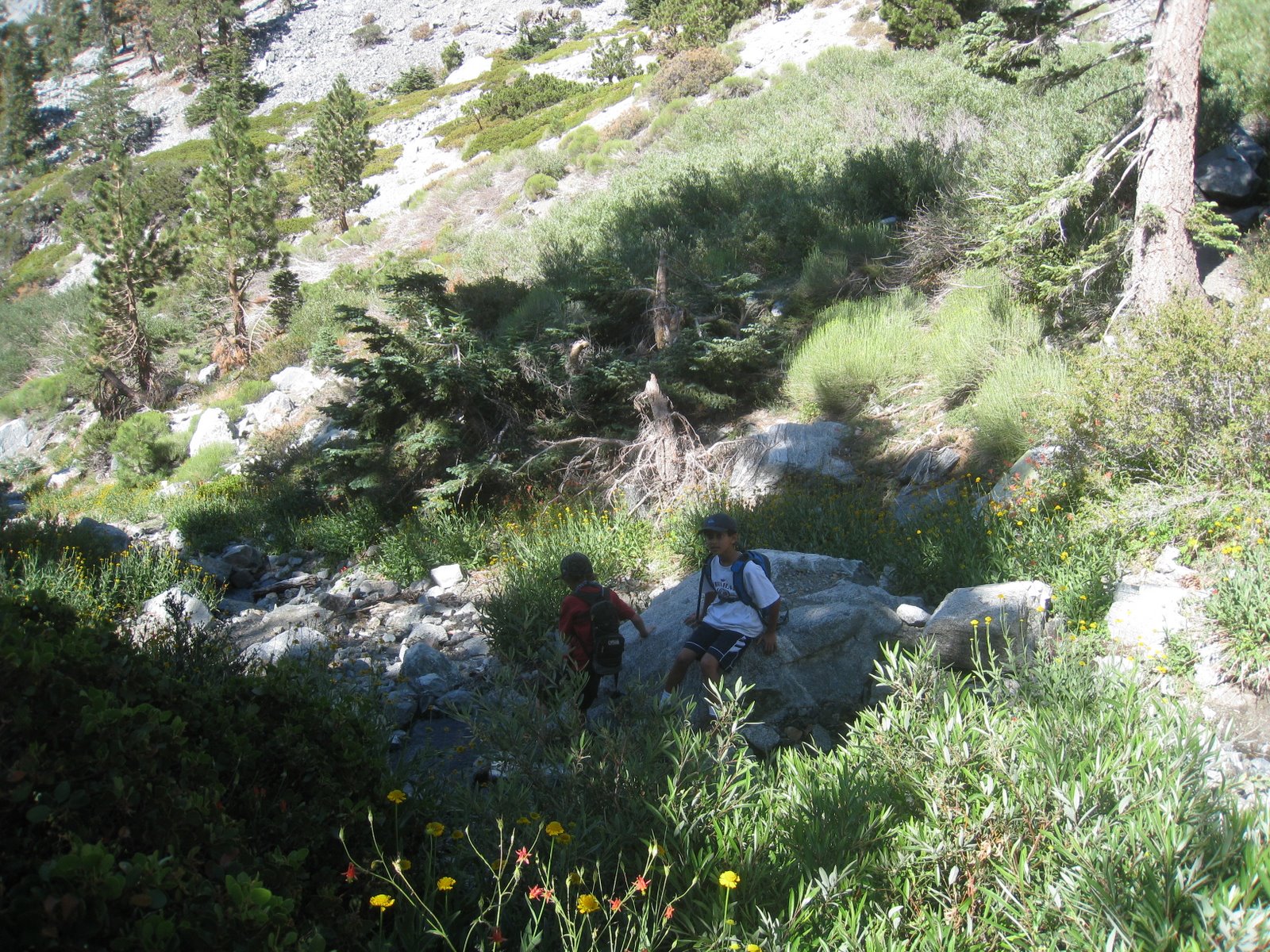
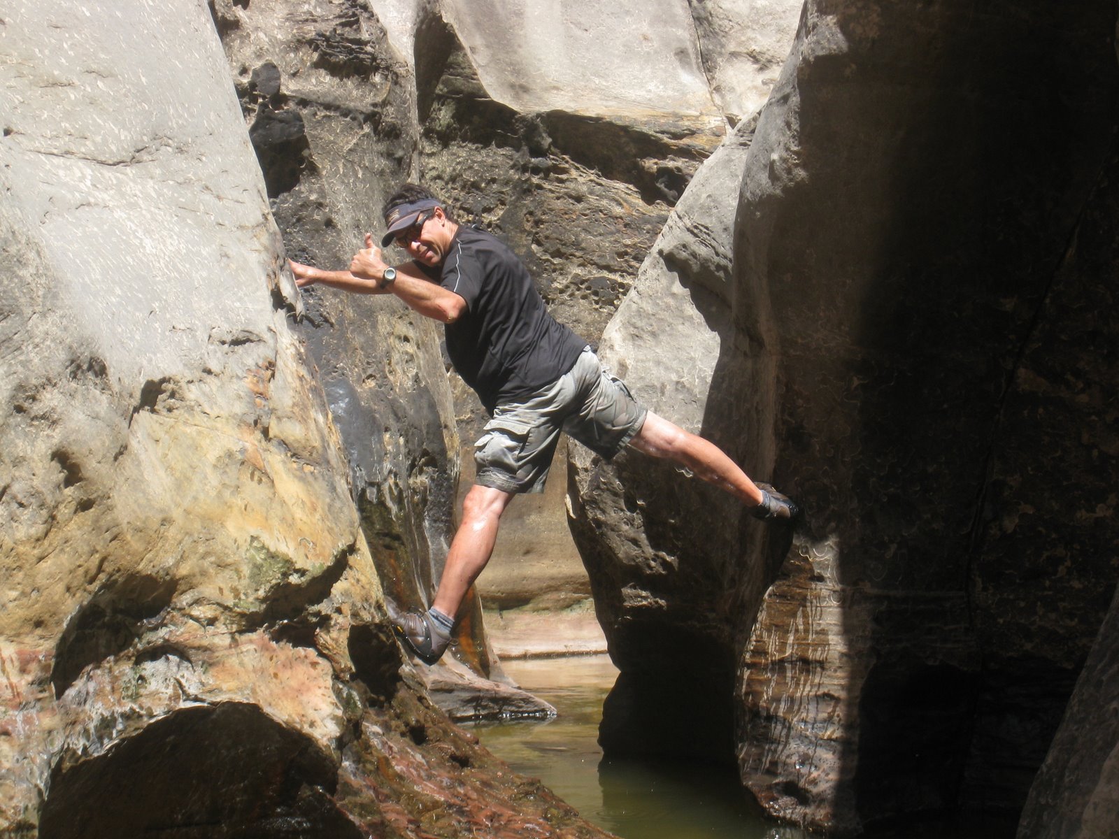
After the cables, we started back down the mountain. Even though it was all down hill, it was still strenuous with difficult terrain to navigate.

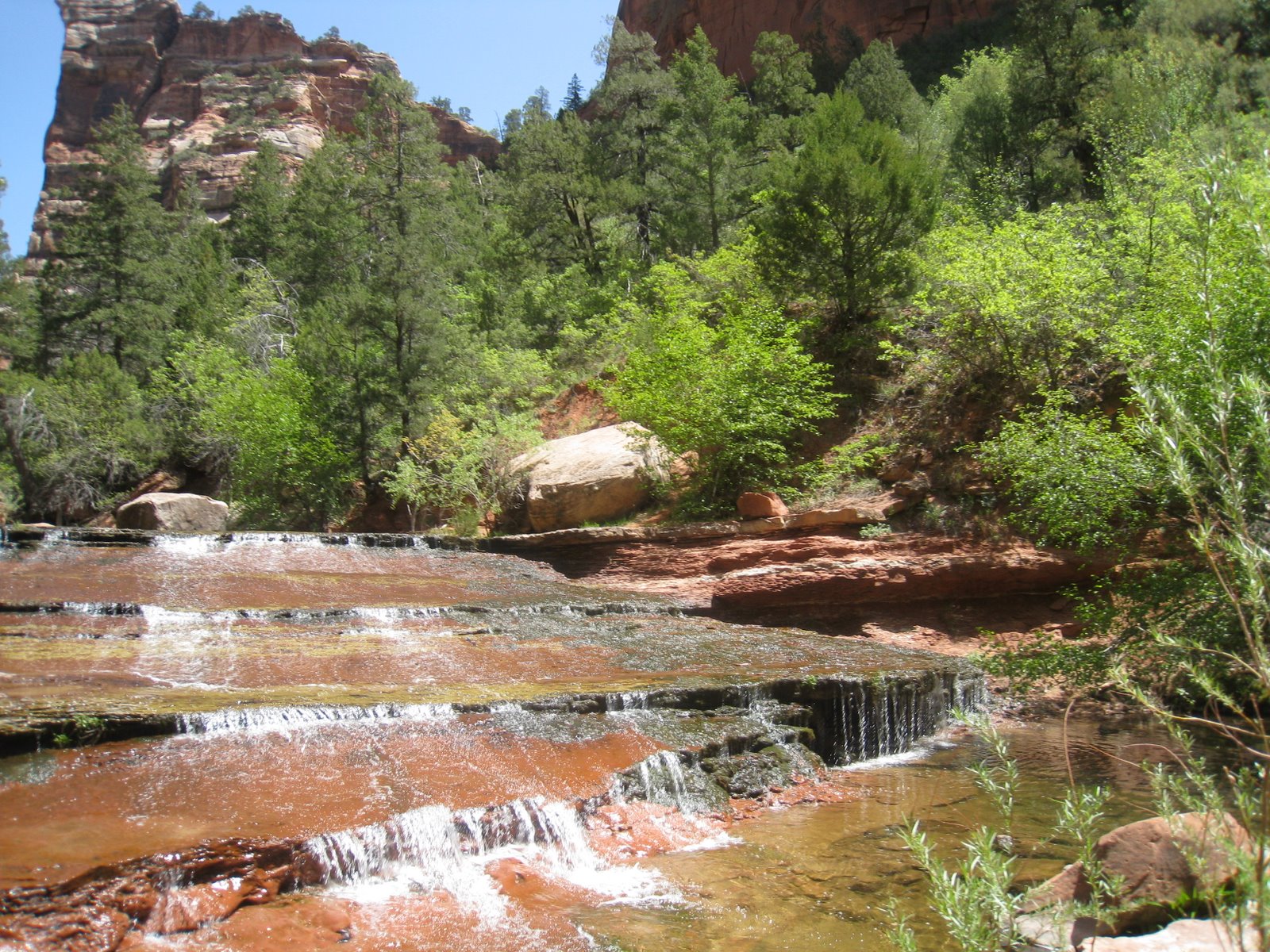
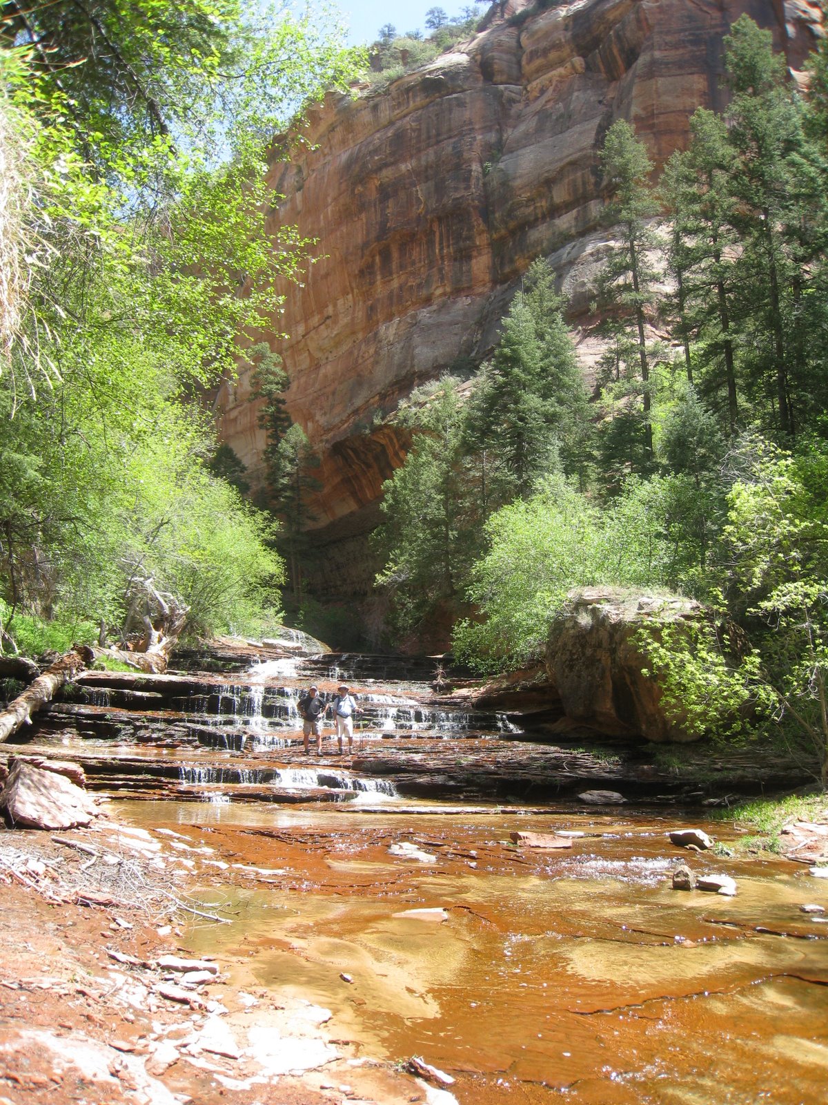
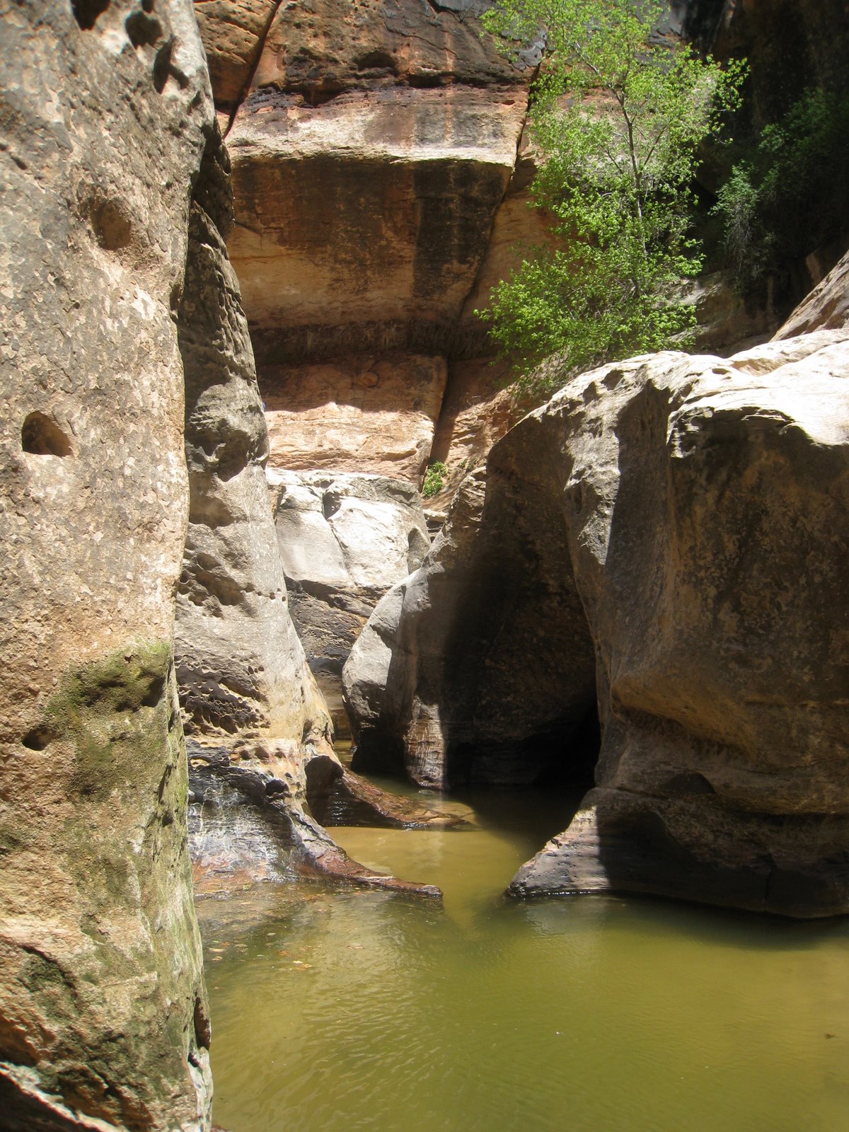
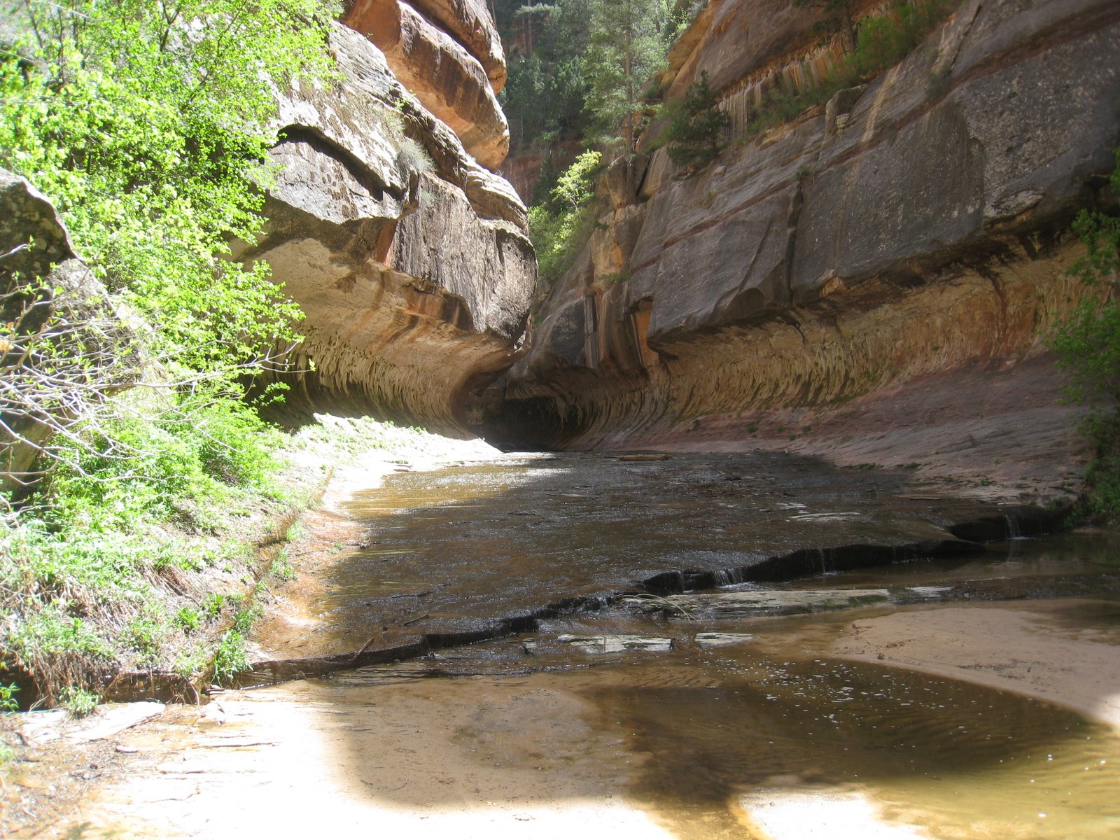
One last shot of the numerous waterfalls on the way back.

Vikram said he “found his guts” on this trip. I would also add that it totally impressed me that these 11-14 year olds were able to accomplish such a feat at such a young age. I am proud of them all.

Read Full Post »

Mt. Baldy Warmup

The boys and I are going to Yosemite in a couple of weeks. To prepare, we went on a hike last weekend up to the top of Mt. Baldy. Doug E and his son Adam joined us as our official tour guide. Mt. Baldy is one of the tallest peaks in So Cal at about 10,100 feet. We started at about 6200 feet and climbed up and back down in about 7 hours.

Here are some pictures of us along the way.

Here we are about half way up. There is a cabin with a nice stream running by it.

Here we are near the top. Note the change in the terrain as we are well above the tree line. Still another 1000 feet of climbing left.

Here we are at the top of the mountain!

The walk back down went a lot quicker. A couple of more long hikes and we’ll be ready for Half Dome!

Read Full Post »

On the second day of our Zion trip, Doug, Denis and I took a hike along the lower Subway route. This is about a 10 mile hike that took us a little over 7 hours round trip with a lot of climbing in and out of the canyon.

Here we are at the start of the hike. You have to read to the end to see why it is called the Subway!

The entire hike is along an ancient riverbed with steep canyons along each side. We saw some dinosaur tracks part way thru the hike.

Here are Doug and I getting our feet wet.

Here is a picture of one of the sandstone overhangs.

Finally, here is the Subway. This water carved formation extends for about a 1/4 mile and dead ends in a deep pool of water that requires rapelling gear to continue.

This is the end of the trail for us!

Here is Doug climbing through the canyon.

And one last look at the awesome Subway!

After that, it is another 5 mile hike back to the top of the canyon.

Read Full Post »

Muir Woods Hike

On one of the last days in the Bay Area, we went to Muir Woods redwood park.

It was a 2 hour drive from Mom and Dad’s house.

We went for a long hike and saw the redwoods. The tallest trees in the park are 260 feet with a 14 foot diameter and are over 1000 years old. The park has the tallest species of Coast Redwoods in the world.

img_1978.jpg

img_1982.jpg

On the way home we stopped off at the Oak residence in Orinda (from Redwoods to Oaks!). Here are the 3 boys climbing in their backyard.

img_1987.jpg

Read Full Post »

Zion Trip

We just got back from a 4 day trip to Zion National Park in Utah.

We stayed at the Desert Pearl Hotel which I would highly recommend for traveling families.

The first day, we did a moderate 3 mile hike called Emerald Pools. There are three pools – Lower, Middle and Upper. There is also a wonderful little waterfall. The hike to the upper one is a bit challenging.

img_1695-1.jpg
On the second day, we hiked a trail called Canyon Overlook.

This was by far the best hike that we were able to do in the park. There are some tricky paths with some strenuous climbing but the views are truly amazing.

img_1710-1.jpg

img_1720-1.jpg

img_1716-1.jpg

img_1722-1.jpg

img_1725-1.jpg

The last day we were there, we took it a bit easy and had the kids participate in a ranger program.

img_1748-1.jpg

While the kids were in class, Anjali and I went for a hike up the Watchman Trail.

This was about a 2 hour hike round trip to the top of a nearby peak that provided views of the entire Zion valley. This is a picture from the trail. On the left is the West Temple and on the right is the Altar of Sacrifice. Note the blood red stains down the side of the mountain.

img_1734-1.jpg

Finally, here was our favorite breakfast spot in the park – the pancakes were the best. It is the Spotted Dog Cafe!

img_1730-1.jpg

Read Full Post »